Fig. 1
Download original image
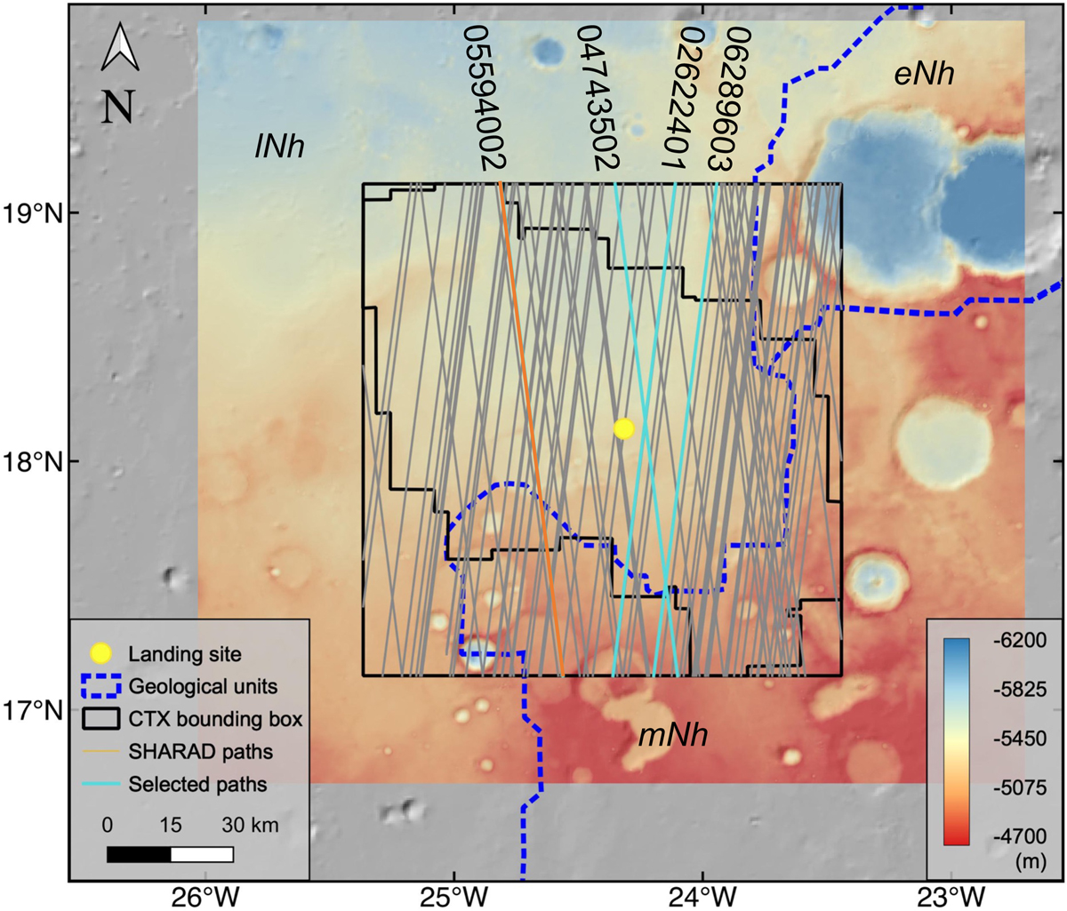
Area of Oxia Planum surrounding the proposed landing site of the ESA ExoMars rover, with the coverage by SHARAD and CTX highlighted. See inset for details of the areas covered by these instruments. The yellow dot indicates the location of the ExoMars landing site. The three main geological units of the Noachian highlands are shown: eNh, mNh, and 1Nh. The grey lines within the black box are the paths of the SHARAD radargrams. Three paths are annotated as cyan lines and example radargrams are shown in Fig. 5.
Current usage metrics show cumulative count of Article Views (full-text article views including HTML views, PDF and ePub downloads, according to the available data) and Abstracts Views on Vision4Press platform.
Data correspond to usage on the plateform after 2015. The current usage metrics is available 48-96 hours after online publication and is updated daily on week days.
Initial download of the metrics may take a while.