Fig. 3
Download original image
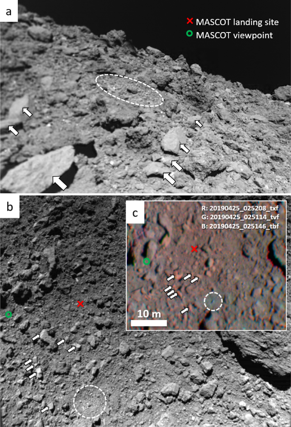
Images of the MASCOT landing area. (a) MASCam image #103, which was the fourth of the descent sequence. (b) ONC image 20181003_015814_w2f (3 Oct 2018). (c) Color composite of projected ONC images from set 6 (Fig. 2c), with colors strongly saturated and red intensity reduced. The arrows indicate a number of smooth, angular boulders, and the dashed circles outline a 5 m large impact crater. The green circle represents the location of MASCOT at the moment it acquired the image in panel a (Scholten et al. 2019a).
Current usage metrics show cumulative count of Article Views (full-text article views including HTML views, PDF and ePub downloads, according to the available data) and Abstracts Views on Vision4Press platform.
Data correspond to usage on the plateform after 2015. The current usage metrics is available 48-96 hours after online publication and is updated daily on week days.
Initial download of the metrics may take a while.