Fig. 3
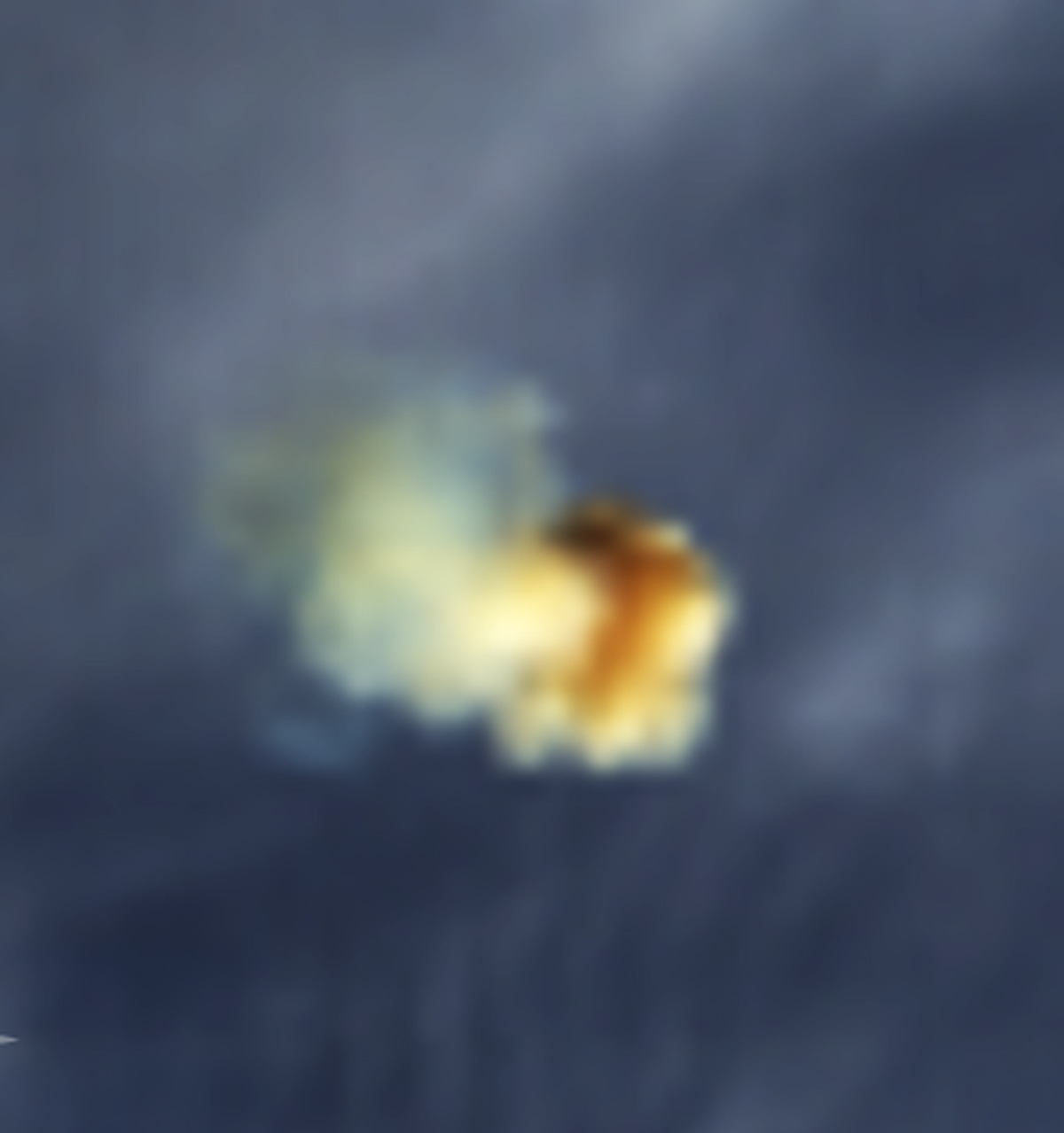
Detail of the trail image from Fig. 2. To avoid remapping artifacts, this image was left in the original satellite swath projection. Bands 1 (646 nm), 4 (554 nm), and 3 (466 nm) were used for the RGB colors. Color balance was made in such a way that the brightest regular clouds nearby appear white. The zoom factor was 4 × for band 1 (250 m resolution) and 8 × for the other two bands (500 m resolution). Resampling was made using the optimized bicubic (OBC) method of the ENVI software (https://www.harrisgeospatial.com/Software-Technology/ENVI).
Current usage metrics show cumulative count of Article Views (full-text article views including HTML views, PDF and ePub downloads, according to the available data) and Abstracts Views on Vision4Press platform.
Data correspond to usage on the plateform after 2015. The current usage metrics is available 48-96 hours after online publication and is updated daily on week days.
Initial download of the metrics may take a while.