Fig. 9
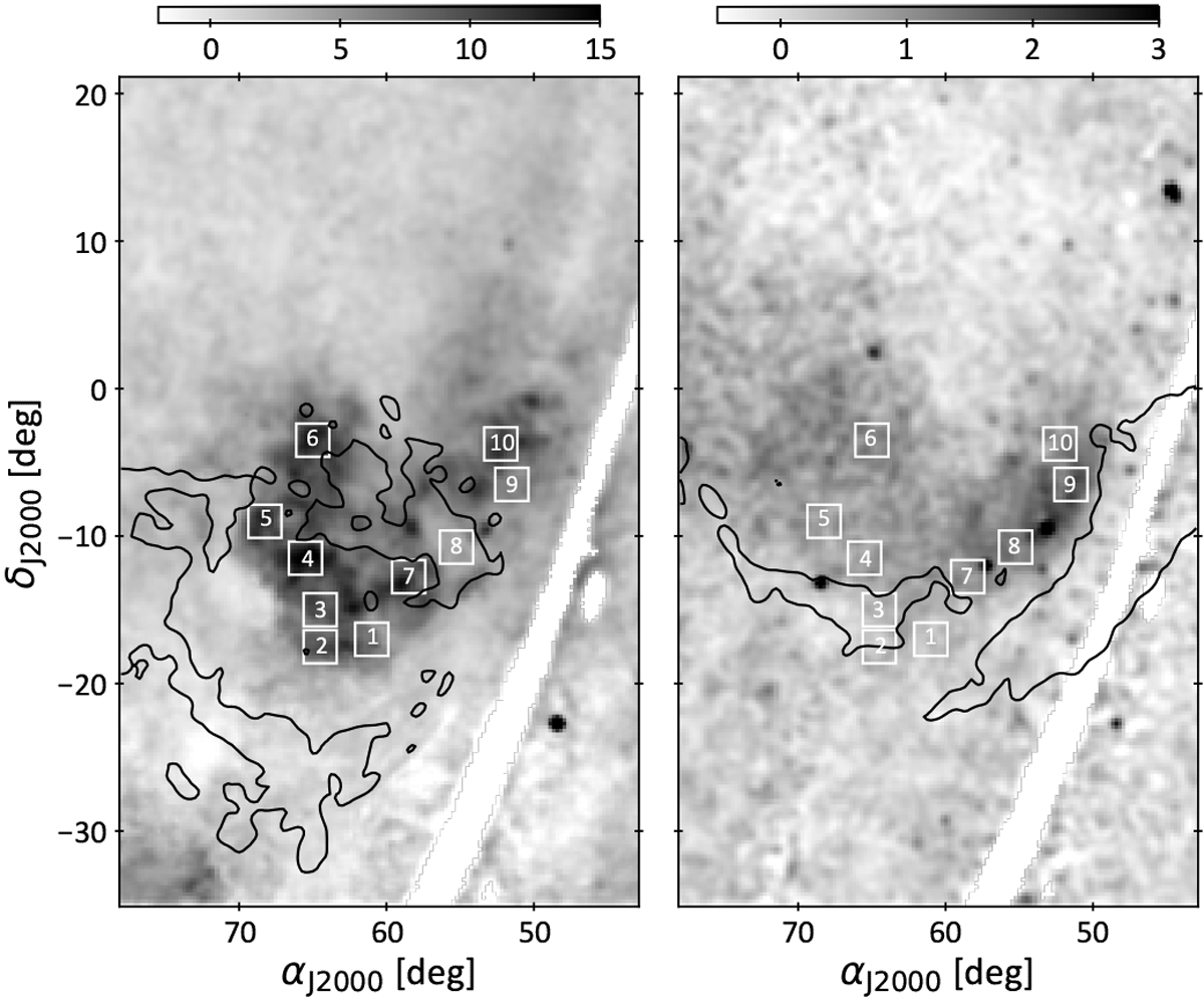
Locations of the regions chosen for X-ray spectral modelling compared with the directions of the west rim, east shell, and south loop cloud complexes (same contours as in Fig. 7), displayed over the intensities obtained in the 0.25 (left) and 0.75 (right) keV bands after correcting for the Local Bubble and halo emissions (same as the bottom row of Fig. 7). The underexposed regions in the ROSAT survey are masked in white.
Current usage metrics show cumulative count of Article Views (full-text article views including HTML views, PDF and ePub downloads, according to the available data) and Abstracts Views on Vision4Press platform.
Data correspond to usage on the plateform after 2015. The current usage metrics is available 48-96 hours after online publication and is updated daily on week days.
Initial download of the metrics may take a while.